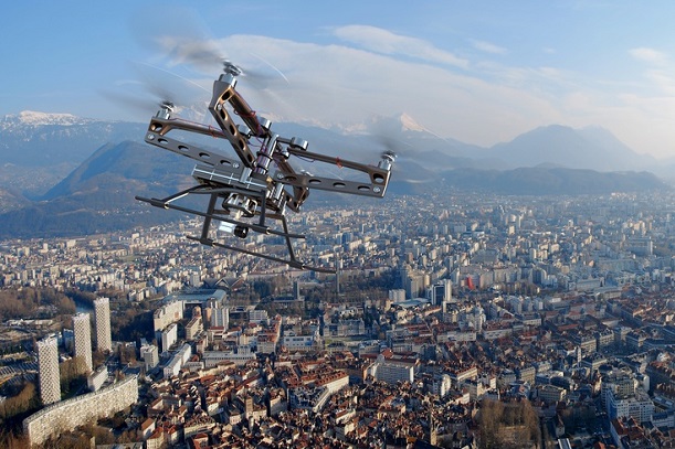
Vodafone has started trialling an e-SIM powered air traffic control network for drones as it looks to help attempts to regulate the changing airscape.
The operator has been working with the European Aviation Safety Agency (EASA) on the project, which is aiming to respond to the booming use of drones and crack down on their use for criminal or dangerous purposes.
Figures from the Single European Sky Air Traffic Management Research project estimates that by 2050, drones will clock more than 250 million flying hours per year over heavily populated parts of the European Union. This will be seven times that of conventional aircraft.
Vodafone’s Radio Positioning System (RPS) uses a embedded 4G modem and SIM to allow drone operators and air traffic control networks to track them in real time with up to 50 metres accuracy.
The system also enables beyond line of sight control of drones, which Vodafone said would reduce the risk of accidental incursions into restricted areas, as well as protective geofencing, where drones are pre-programmed to automatically land or return to the operator if they stray into protected areas.
Air traffic authorities can also override a drone operator’s control when necessary, altering its flight path or forcing it to land.
[Read more: The sky’s the limit for EE’s ‘Droneman’ as operator pushes on with airborne small cell project]
Vodafone said the system has end-to-end encryption from SIM to base station and its location data is harder to break into or spoof compared to traditional GPS.
Drones can be tracked to a height of 400m, considerably higher than the typical 100m flight height.
[Read more: Drones could transform multiple industries, Qualcomm claims amid trial flurry]
Artificial intelligence algorithms, which were also developed by Vodafone, can enable a “very large” number of drones to be tracked and controlled.
The operator has placed its research and intellectual property in the public domain with no licence fees, which it said was a bid to stimulate innovation and accelerate the growth and adoption of drone technology.
In late 2017, the technology was trialled near Sevilla, Spain, where a 1.3 metre wingspan X-UAV drone weighing two kilograms was controlled over a LTE network. The drone transmitted real-time video and flight data during its journey.
Vodafone said it wants to hold further trials in Germany and Spain this year before making the tracking and safety technology available from next year.
It added the technology could ultimately be used to track other IoT devices in future, such as luggage and bicycles, as well as potentially offering better location tracking and enhanced security than GPS.
Vodafone Group Chief Technology Officer Johan Wibergh, said: “This groundbreaking innovation by Vodafone will help to ensure the skies stay safe as drones become ubiquitous, everywhere.”


